The TRC
Formed in 2009, the Telemetrics Research Centre (TRC) was initially titled the Geoinformatics Research Centre (GRC) because of its focus on precision instrument development for climate and atmosphere monitoring, where geo-referencing was necessary. Due to a broader spectrum of instrumentation and measurement research being undertaken, in 2016 it was decided that while not leaving the research domain of GeoComputation behind, it was appropriate to change the title to the Telemetrics Research Centre. Telemetrics is a term that has long been associated with the instrument telemetry aspects of data communications but has come back into common parlance with advent of Wireless Sensor Networks and their applications.
The former GRC and more recently titled TRC has since undertaken academic research and externally funded R&D project work since its inception in 2009. Details of this work, our publications, Masters and PhD student supervision and our teaching in the field of GeoComputation can be found at this site. The About Us button, together with The People and other links to our information can be found at the right-hand side of this screen.
GeoComputation
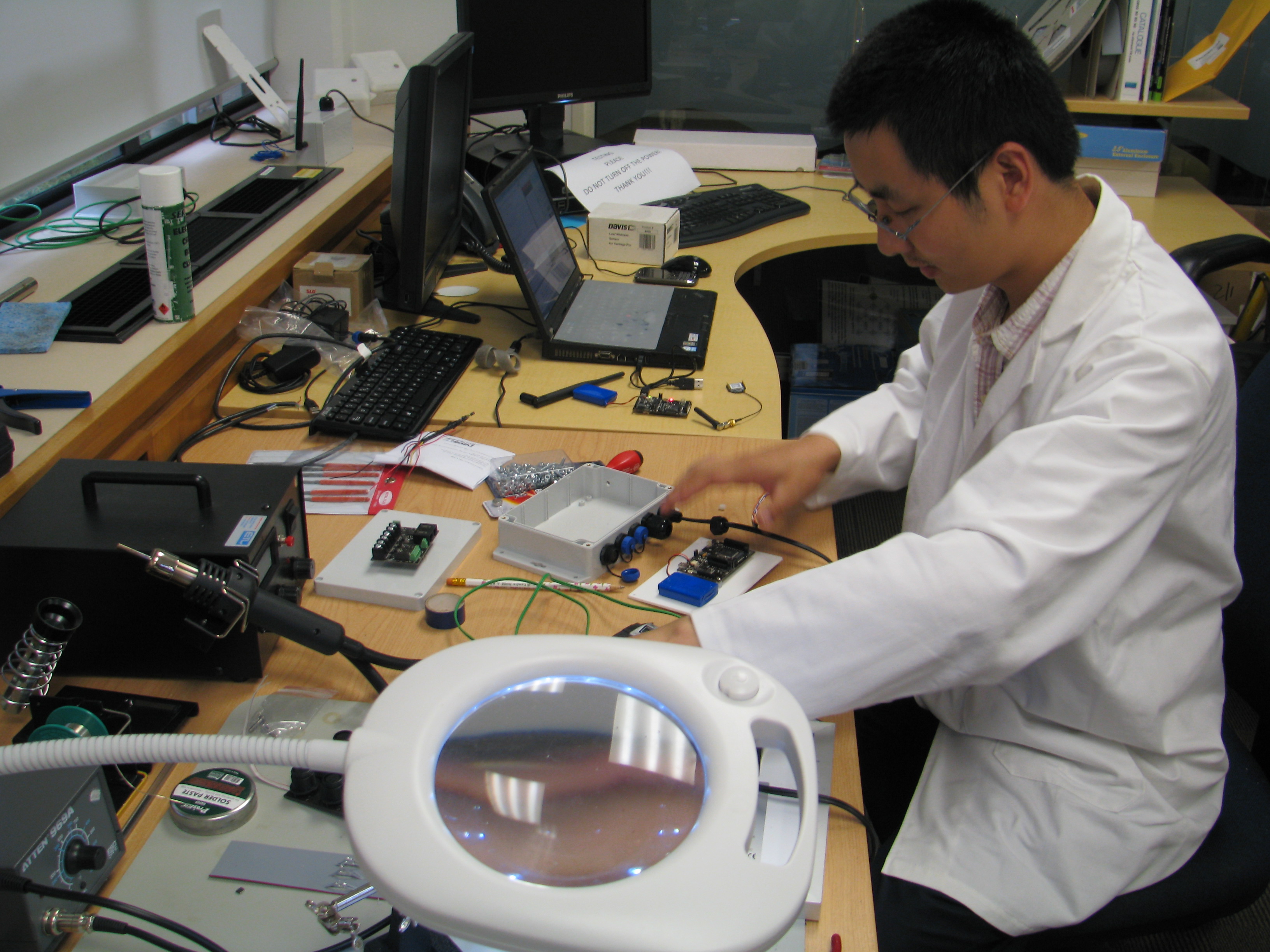
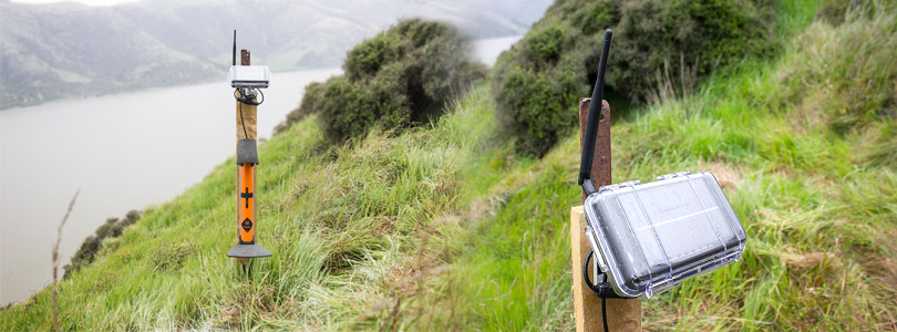
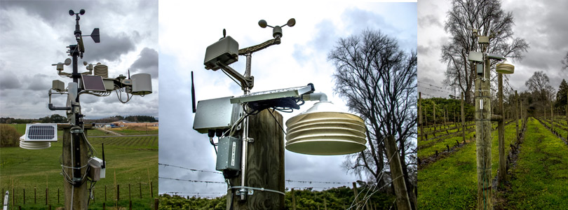
GeoComputation is a research domain that seeks to enhance knowledge across a number of established academic disciplines including geodetic science and the related fields of geology, geography and demography; computer science and electrical engineering but in the TRC context it relates especially to the design, development and implementation of instruments for terrestrial instrumentation and measurement, where geo-referenced location data is integral to the application for which they are designed. This may be climate and atmosphere monitoring, seismic or other environmental monitoring, pest control or health monitoring devices. Precision data is collected, processed and analysed with resulting information made available via web tools for end user consumption. As a field of endeavour, GeoComputation reflects a broad spectrum of research methods, which are applied appropriately to the sub fields of this domain of work. These include:
- Machine learning and algorithm design
- Geostatistics
- Geospatial analysis
- Data interpolation, estimation and modelling
- Data mining and depiction
- Signal and Image processing
- Instrumentation design and performance measurement
- System simulation
News and Events
No results were found
Links